Maps for reading / Biblical lands
Ancient Palestine
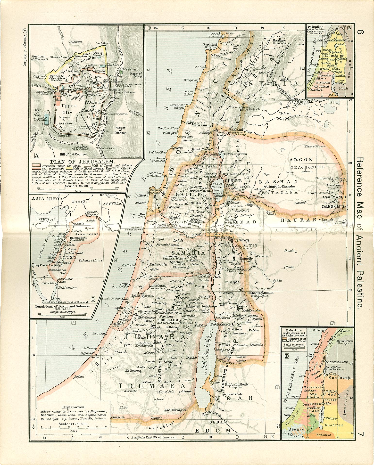
Locate Jerusalem, Galilee, the Jordan, and the surrounding lands while reading Scripture. The smaller panels compare several periods rather than showing one unchanging biblical kingdom.
- Period shown
- Ancient regional reference; biblical-period insets, with dates assigned by the 1911 atlas
- Published
- 1911 · Atlas pages 6–7
- Suggested use
- Grades 4–12; younger children with an adult. Dense insets reward guided reading.
All grade-picker settings retain access to this map. Suggested grades describe support needs, not a restriction.
Historical judgment
Read this map carefully
Early twentieth-century reconstruction, not an ancient artifact. Its biblical chronologies and identifications are historical scholarly judgments, not settled dates or present-day political boundaries. The sheet uses older English and classical place names.
No separate drawing date is established here; 1911 is the verified atlas publication date, not the period depicted.
At the table or in class
A question to begin
Find Jerusalem and the Sea of Galilee. Follow the Jordan with a finger, then explain why a physical feature and a political border are different kinds of evidence.
First read the map title, legend, scale, and inset headings. Then name what the map can show—and what it cannot.
Source & public-domain record
- Atlas & maker
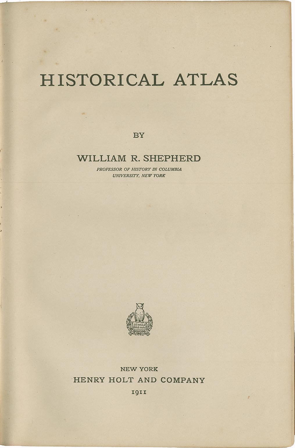
- William R. Shepherd (atlas compiler); individual map maker not identified on this sheet. Historical Atlas. New York: Henry Holt and Company, 1911. Pages 6–7. A separate drawing date is not established by this record.
- Source institution
- University of Texas Libraries, Perry-Castañeda Library Map Collection. Exact original scan · Edition catalog · Original title page · Hosted title-page evidence.
- Rights
- Public domain in the United States (PD-US-expired). This exact sheet is listed in the archive’s 1911 edition and was published in the United States in 1911, as independently confirmed by the scanned New York title page. Its underlying publication is before 1931 and outside US copyright in 2026. The archive states that its public-domain map scans may be downloaded and reused without permission; this original atlas item is not flagged as a separately copyrighted modern map. Only faithful resizing/format conversion has been applied to previews; the downloadable scan is unchanged. Archive reuse statement · 2026 US copyright-term reference · Additional Commons item record. US public-domain assessment, not a worldwide legal guarantee. Check local law when reusing outside the United States.
- Credit
- From William R. Shepherd, Historical Atlas (New York: Henry Holt and Company, 1911). Scan courtesy of University of Texas Libraries.
- Download integrity
- Unchanged source JPG · 1541 × 1917 pixels · 846,474 bytes.
SHA-256:9f32c42164f9018d74aa7a1466824d3e61e393b2a0589070a74b479c04f31bc3



Reviewed 2026-11-06. Download complete provenance manifest.