The atlas shelf · Classroom resources
Read with a
sense of place.
Mountains behind an epic. Rivers through a kingdom. A growing industrial city. Open a map beside the book.
9 original atlas sheets · 21 connected works · Free image downloads
Explore the maps ↓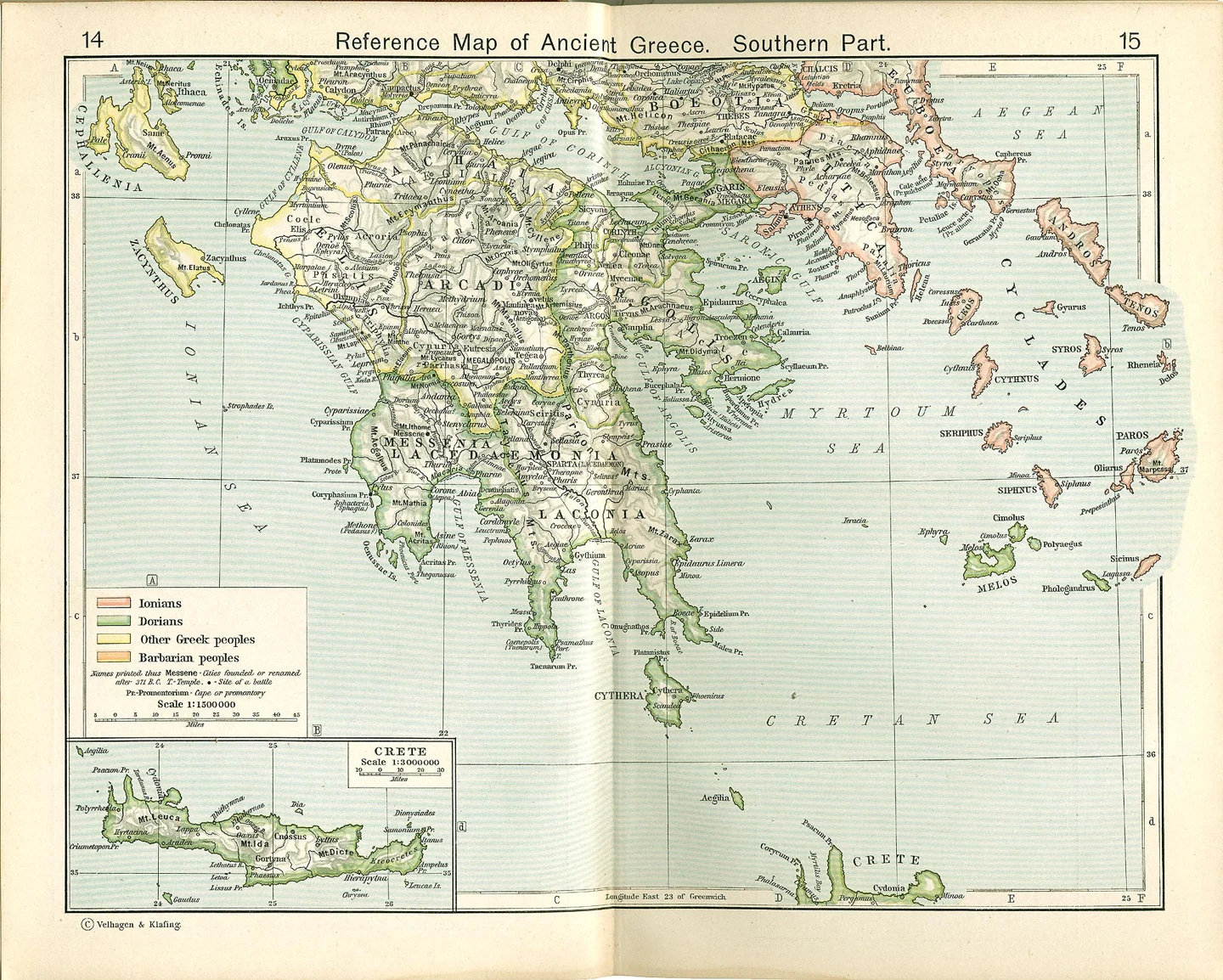
Biblical lands
1911 atlas · Public domain (US)
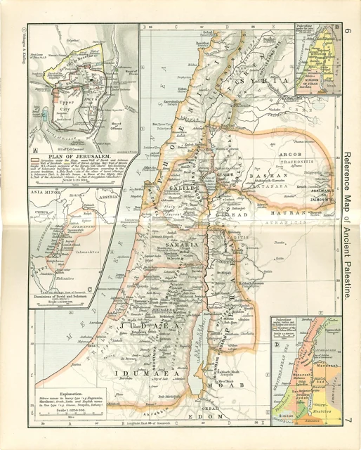
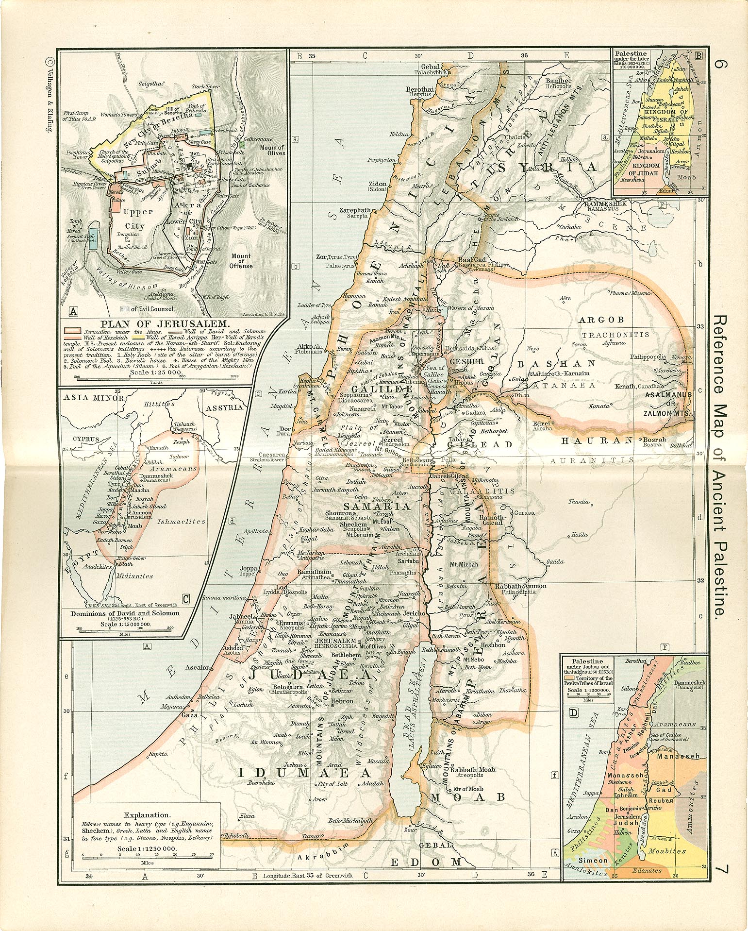
Ancient Palestine
Shows: Ancient regional reference; biblical-period insets, with dates assigned by the 1911 atlas
Locate Jerusalem, Galilee, the Jordan, and the surrounding lands while reading Scripture. The smaller panels compare several periods rather than showing one unchanging biblical kingdom.
Grades 4–12; younger children with an adult. Dense insets reward guided reading.
Read with: The Bible · Homilies on the Gospel of John
Greece & Rome
1911 atlas · Public domain (US)
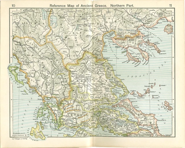
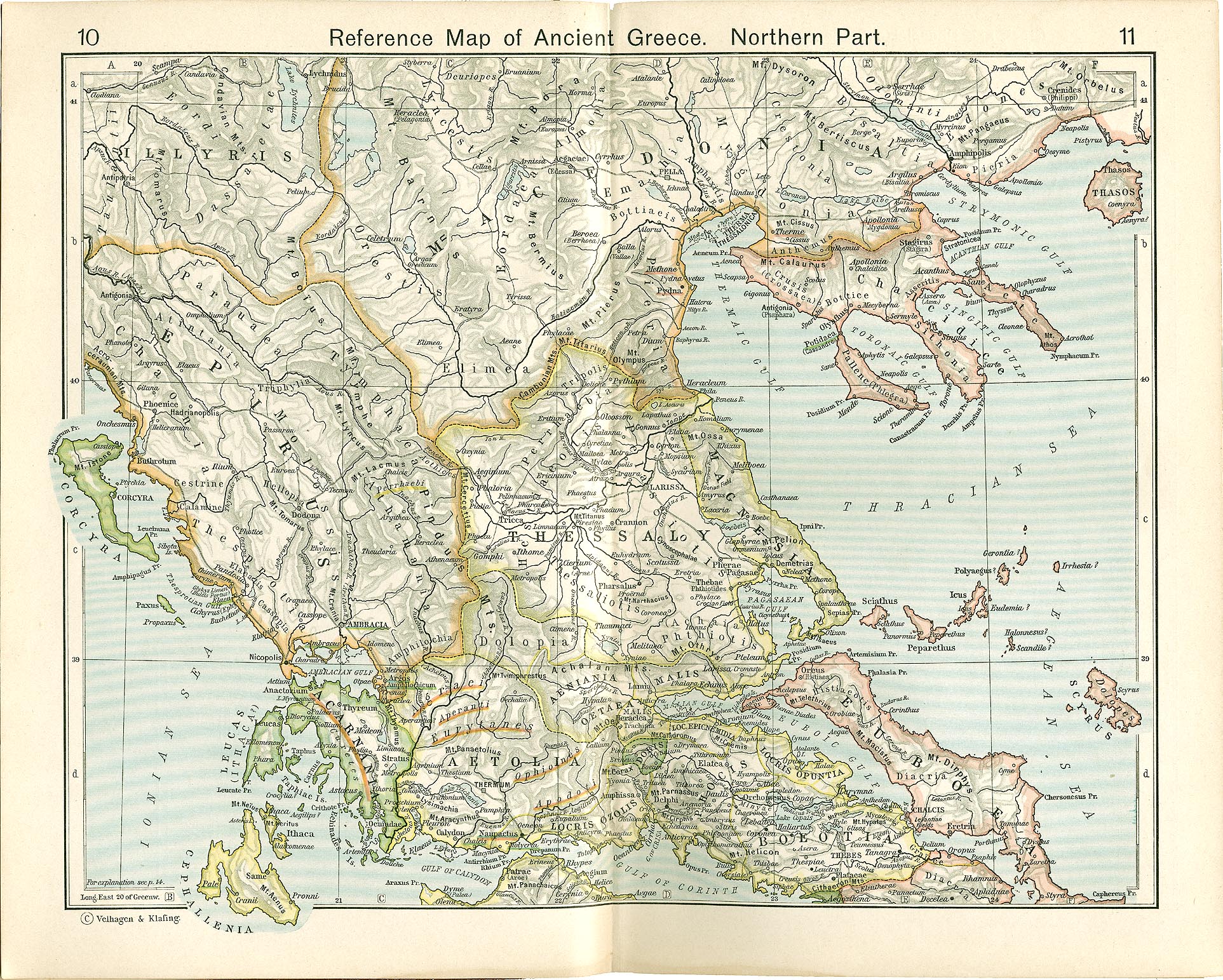
Ancient Greece · north
Shows: Ancient regional reference; not a single dated political snapshot
Mountains, rivers, cities, and regions of northern Greece give a geographical frame to Greek history and the Greek homelands named in epic.
Grades 6–12; adult-led place-finding for grades 4–5.
Read with: The Iliad · The Histories · More books
1911 atlas · Public domain (US)
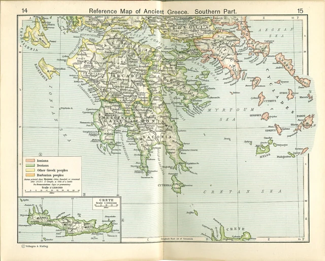
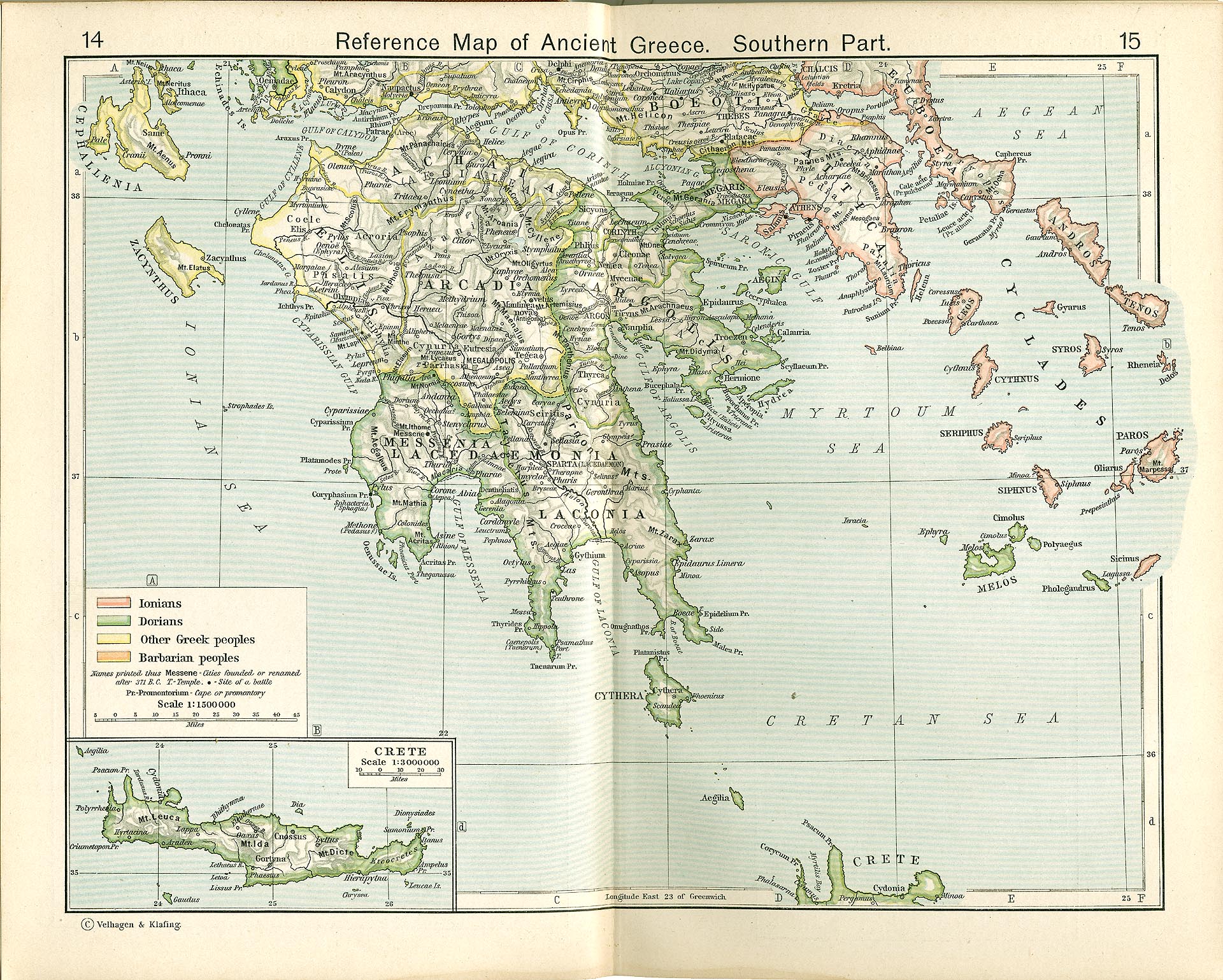
Ancient Greece · south
Shows: Ancient regional reference, including the Peloponnese and islands
Find Athens, Sparta, the Peloponnese, and the sea passages that connect Greek communities. A Crete inset extends the regional view.
Grades 6–12; younger learners can compare land and sea with an adult.
Read with: The Odyssey · The History of the Peloponnesian War · More books
1911 atlas · Public domain (US)
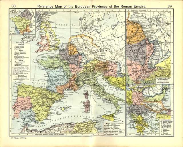
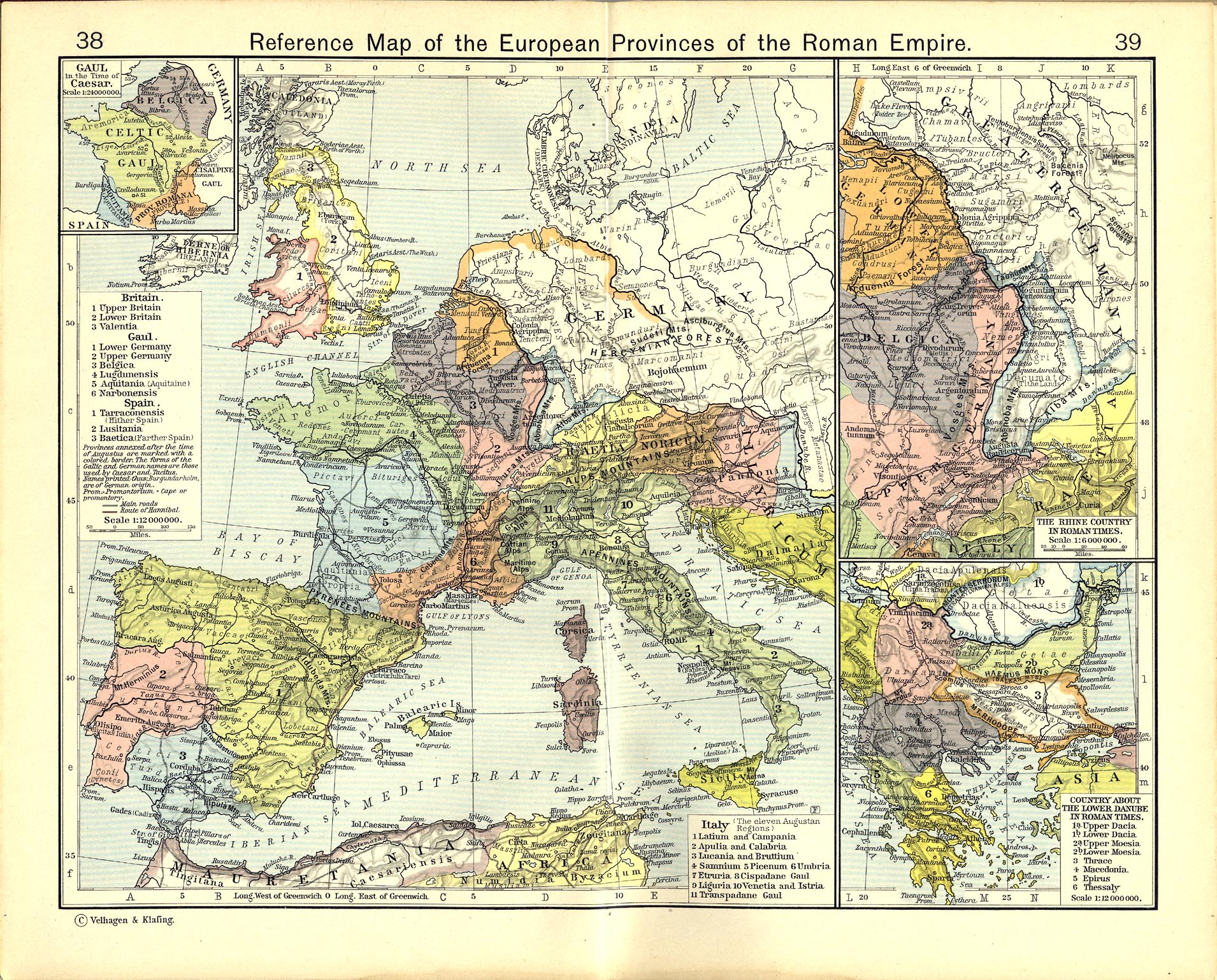
The Roman Empire · European provinces
Shows: Roman imperial regional reference, with separate historical insets
See the scale of Rome’s European world, its provinces, and the Rhine and Danube frontiers. Insets distinguish Gaul in Caesar’s time and selected frontier regions.
Grades 6–12; guided comparison for upper elementary.
Read with: Julius Caesar · Lives of the Noble Grecians and Romans · More books
Britain & literature
1911 atlas · Public domain (US)
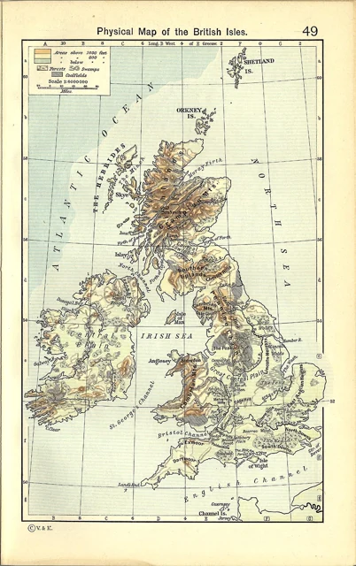
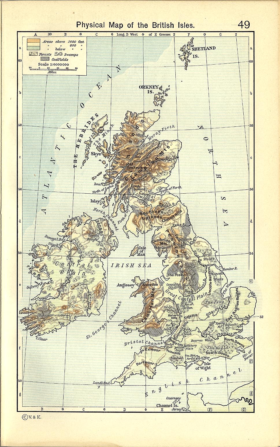
The British Isles · land and water
Shows: Physical geography as represented in a 1911 atlas
An uncluttered regional starting point for British literature: uplands, rivers, coasts, and islands before an encounter with denser political maps.
Grades 3–12; younger children with an adult. Place names are small at thumbnail size.
Read with: Pride and Prejudice · The Pickwick Papers · More books
1911 atlas · Public domain (US)
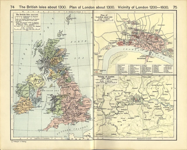
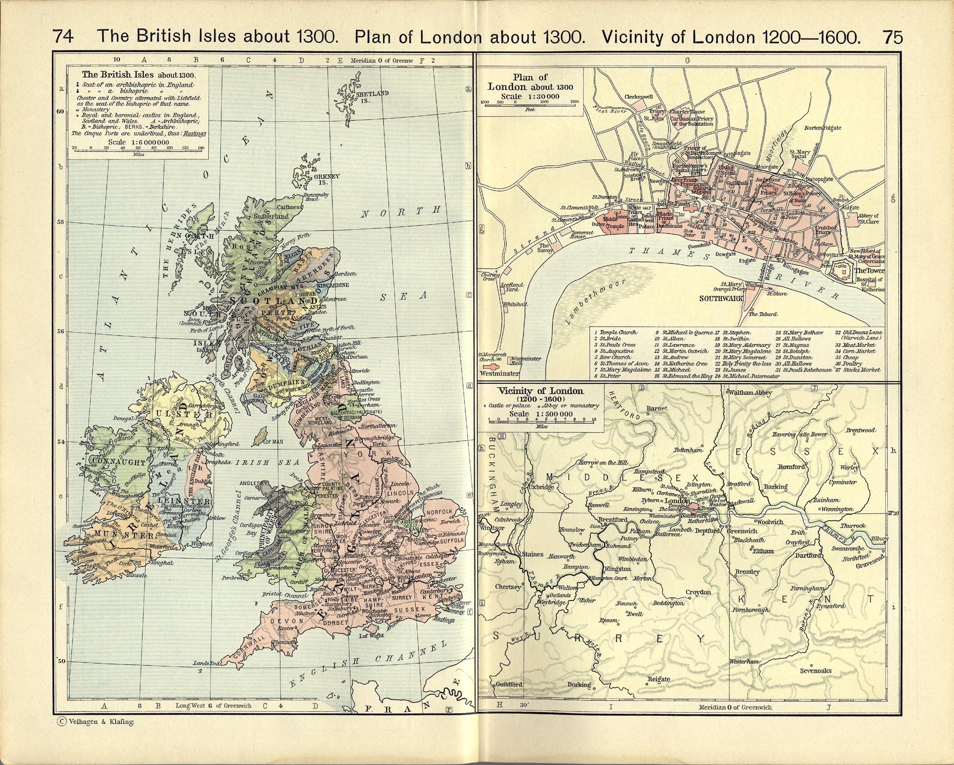
Medieval Britain & London
Shows: British Isles about 1300; London about 1300; vicinity of London 1200–1600
Compare medieval kingdoms and counties with two London panels. Useful context for discussing towns, journeys, and institutions in later medieval literature.
Grades 6–12; selected place-finding with an adult in grades 4–5.
Read with: The Canterbury Tales · Sir Gawain and the Green Knight
1911 atlas · Public domain (US)
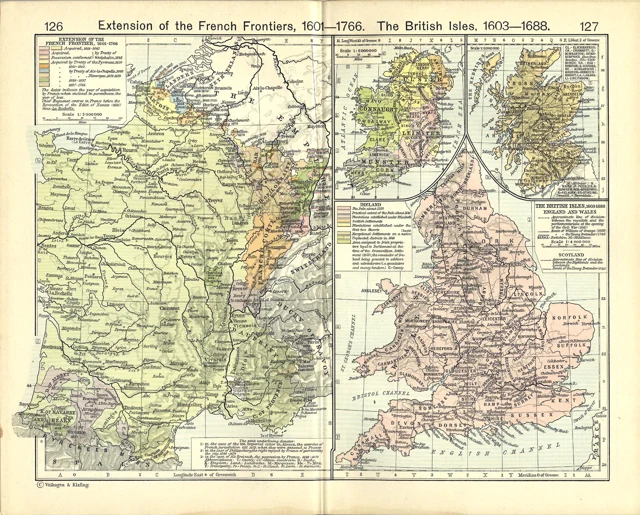
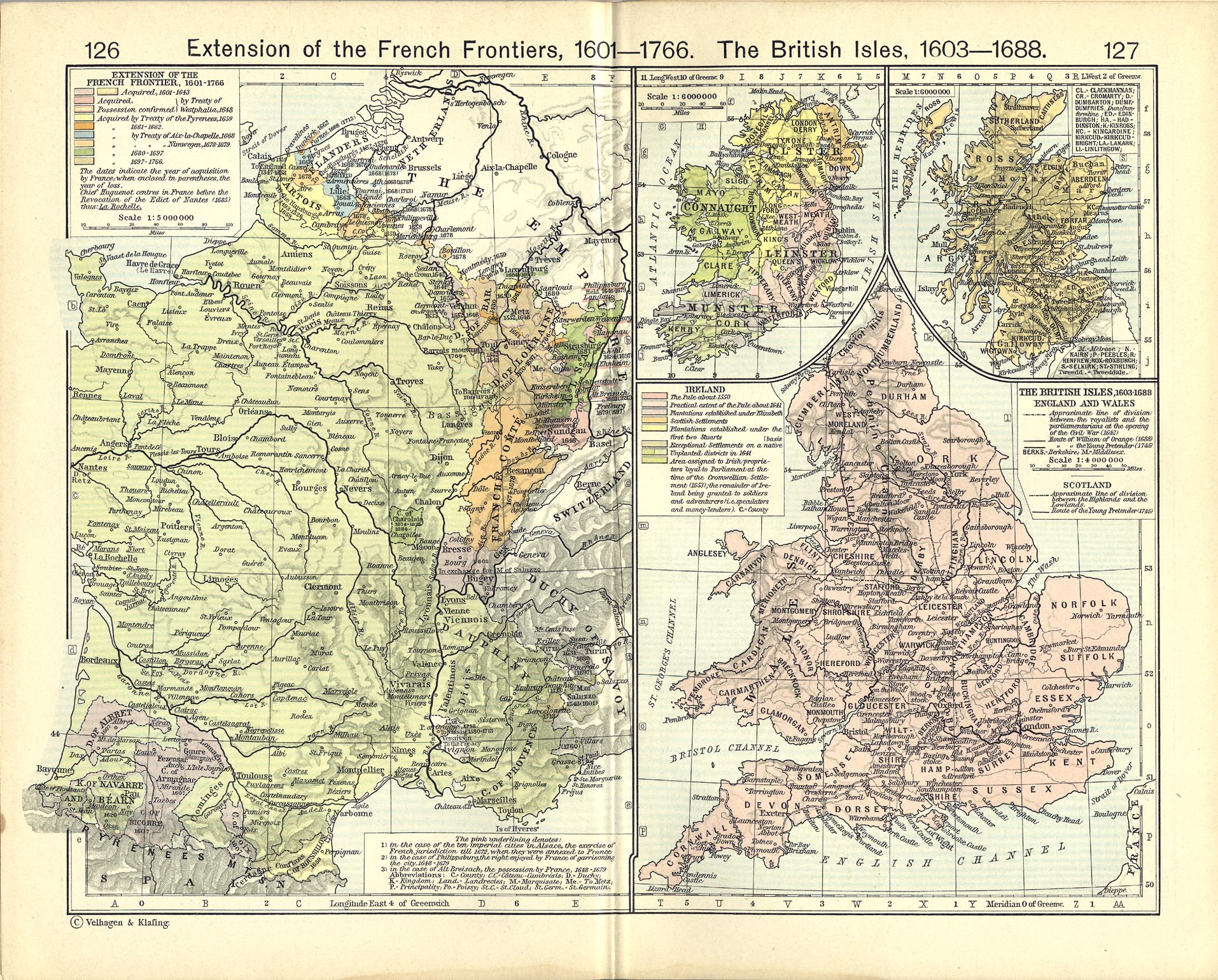
France & Britain · early modern
Shows: French frontier expansion 1601–1766; British Isles 1603–1688
Two panels place seventeenth-century British writers within a wider European political setting. Read the map beside the history of Milton’s and Bunyan’s lifetimes.
Grades 7–12; teacher-selected comparisons for younger learners.
Read with: Paradise Lost · The Pilgrim's Progress
1911 atlas · Public domain (US)
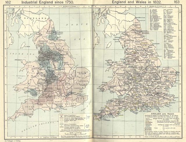
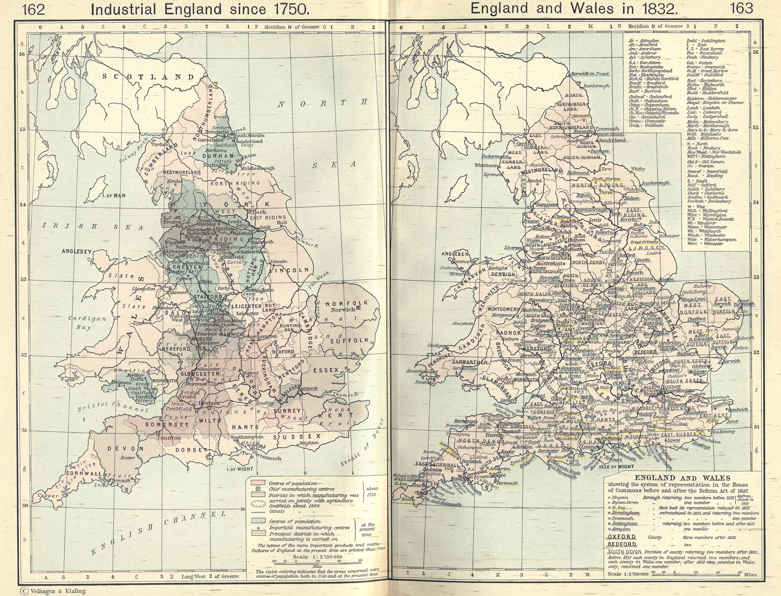
Industrial England & parliamentary reform
Shows: Industrial England since 1750; England and Wales in 1832
Read industrial districts alongside the parliamentary-representation panel. This is a visual companion to questions about labor, growing towns, and public life in Dickens.
Grades 7–12; upper-elementary map comparisons with an adult.
Read with: Hard Times · The Pickwick Papers
America & independence
1911 atlas · Public domain (US)
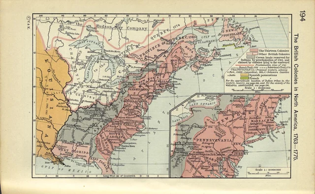
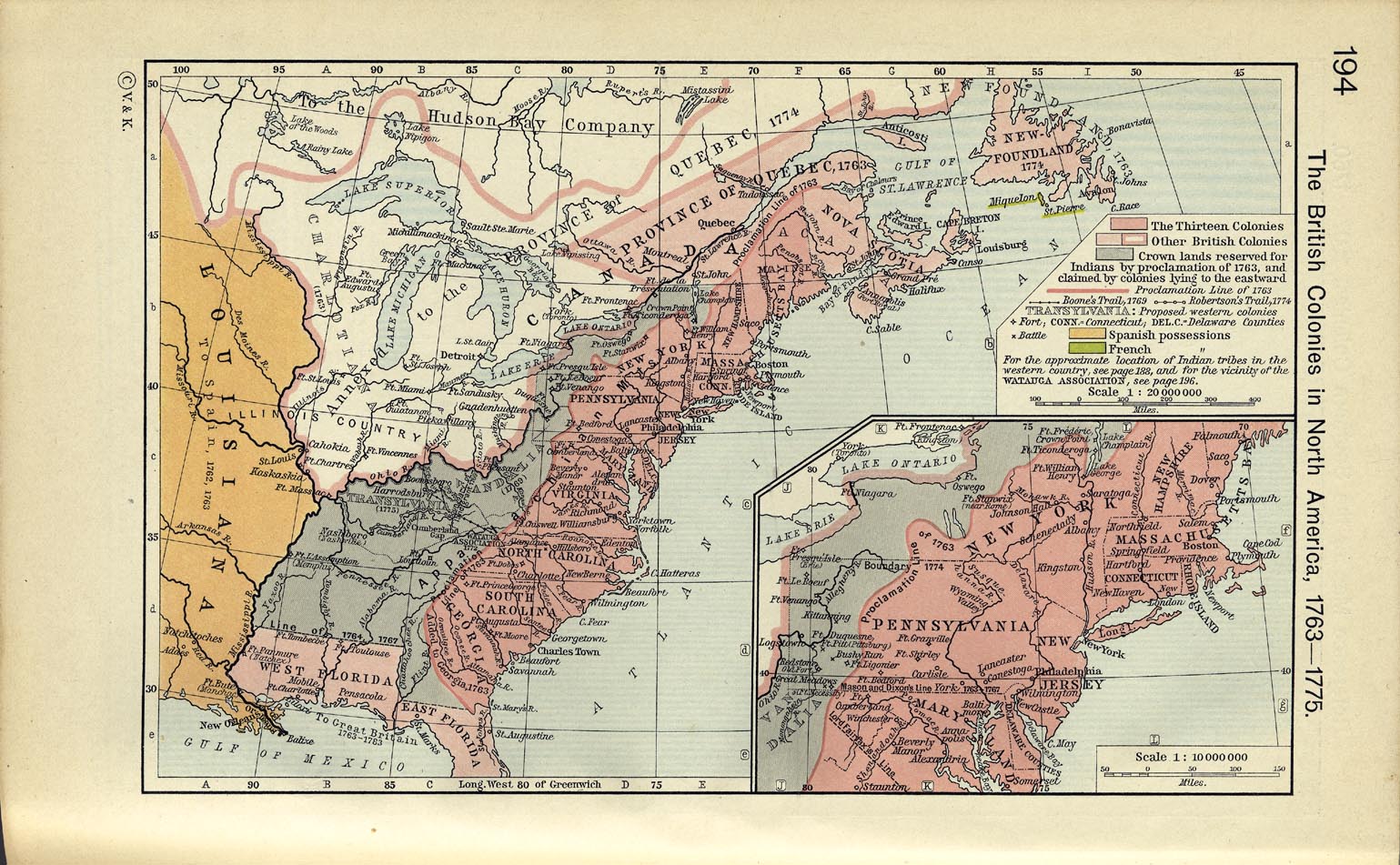
British North America · before independence
Shows: British colonies in North America, 1763–1775
Locate Virginia and the Atlantic colonies before reading arguments about independence and rights. The inset expands the New England coast.
Grades 5–12; discuss colonial claims and missing perspectives with an adult.
Read with: Common Sense, Rights of Man, The Age of Reason, and The American Crisis · The Virginia Declaration of Rights
Our sources & your downloads
Original sheets are hosted here—not just linked elsewhere. The JPG downloads preserve the archive scans unchanged, including their insets and printed credits. Lighter WebP previews are faithful downscales, with no redrawing or added routes. Open the full-size image to inspect small labels; these are archival screen and small-print resources, not modern wall-poster files.
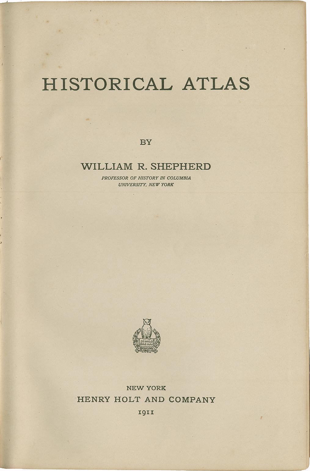
Source: University of Texas Libraries’ 1911 atlas catalog. We checked the New York, 1911 title page, each selected sheet, and the archive’s public-domain scan reuse statement. Cornell’s 2026 copyright-term guide confirms the US pre-1931 publication rule. Each map page gives its own provenance and caution.
Public domain in the United States; no CC BY images or newly copyrighted annotations are included. Reuse rules elsewhere may differ. Download the source, rights & SHA-256 manifest (JSON).